Looking at maps within a social, political and historical context
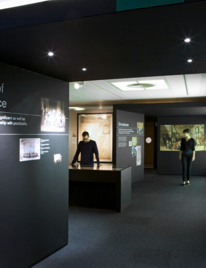
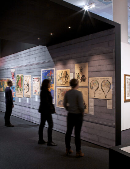
The ‘Magnificent Maps’ exhibition at the British Library looked at maps within a social, political and historical context rather than maps as geographical or navigational tools. The maps, many of which are extremely rare and were exhibited for the first time, were presented to the visitor within a series of symbolic architectural constructs.
Working closely with the curators at the British Library, we created a series of notional galleries, chambers and public spaces within the exhibition hall.
The implied historical setting for each ‘chapter’ within the exhibition was designed to support a series of curatorial narrative ‘themes’ such as: maps as symbols of power and status, maps as art and maps as tools of propaganda and indoctrination.
From the current issue
Universal Design Studio is an architecture and interior design practice based in London & New York